Quebec Nickel drills greater than 1% nickel at Ducros project
But the highlights from the hole were sub-intervals of 11.8 metres grading 1.44% nickel, 1.49% copper, 461 ppm cobalt, 1.23 grams platinum, 1.16 grams palladium and 0.4 gram gold starting from 35.5 metres, which also contained 8.4 metres of 1.85% nickel, 1.65% copper, 576 ppm cobalt, 1.5 grams platinum, 1.37 grams palladium, 0.4 gram gold.
A second hole, QDG-22-28, cut 43.4 metres of 0.24% nickel, 0.25% copper, 146 ppm cobalt, 0.1 gram platinum, 0.14 gram palladium, and 0.11 gram gold, starting from 5.6 metres downhole.
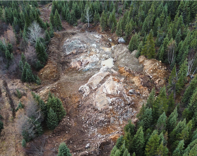
The two holes were collared to the southeast of the Fortin Sill Zone discovery outcrop.
The junior explorer also reported results from recent channel sampling in June with highlights of 13 metres of 0.37% nickel, 0.93% copper, 179 ppm cobalt, 0.50 gram platinum, 0.58 gram palladium, and 0.31 gram gold in channel sample 2, and a 3.8-metre interval in channel sample four of 0.32% nickel, 1.2% copper, 179 ppm cobalt, 0.7 gram platinum, 0.79 gram palladium, and 0.43 gram gold in channel sample four.
The company has drilled 9,000 metres at the eastern part of the Ducros project so far this year.
In addition, Quebec Nickel completed a 250 line-km high resolution UAV (drone) magnetic survey over the Fortin Sill target area, and an additional 882 line-km survey was flown over targets in the western part of the project. The company is planning another 1200 line-km of UAV magnetics over high priority targets this year.
The three key targets so far at the project are Fortin Sill, the Ducros Sill Complex and the Ducros Gabbro.
Fortin Sill is the pyroxenite-hosted nickel-copper-PGE surface showing where historic grab samples returned up to 2.64% copper and 0.49% nickel, along with 3.44 grams platinum-palladium-gold. At the Ducros Sill Complex, three holes were drilled in the 1980s that encountered an interpreted 3.5-km-long and up to 700-metre-wide ultramafic sill with anomalous nickel values, and Ducros Gabbro is a poorly exposed, roughly 5-km by 5-km mafic intrusion largely inferred from regional magnetic data.
The 151.5-sq.-km project lies in the eastern portion of Quebec’s Abitibi Greenstone Belt. A provincial highway (113) crosses the property on the east side, there are rail and power lines within 5 km of the project, and a regional airport 100 km to the southwest.
This post has been syndicated from a third-party source. View the original article here.